Stay Updated
Latest News
Dataset releases, product announcements, and engineering notes from the Land Records team.
Investigating Regrid's missing parcels in Norfolk VA
In this post, we help Regrid investigate the root cause of their 7,000+ parcel coverage gap in Norfolk VA. After all, what else are friends for?
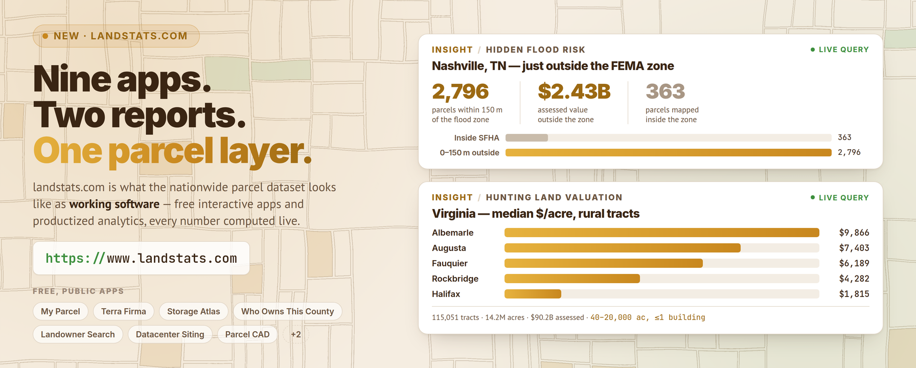
Read more →Introducing landstats.com: Parcel-Driven Apps and Analytics
A parcel dataset is only as interesting as what gets built on it. Today we’re launching www.landstats.com — a showcase of nine free interactive apps and two analytics products , every one of them computing against the…
Read more →Introducing the Landrecords.us Parcel MCP Server
Ask an AI assistant who owns the lot next door and it will guess, hedge, or hallucinate — because it has no parcel data to look at. Today we’re fixing that: the nationwide parcel layer is now live over the Model Context…
Read more →Schema Update
We are retiring the per-row lrversion column from the parcel dataset and web API. With hosted data now refreshing weekly, a single version stamp on every row no longer earns its place — version information moves onto the release itself, and reproducible versioned downloads continue unchanged.
Read more →Query the nationwide parcel dataset from your browser
A nationwide parcel dataset is only as useful as your ability to ask it questions. Until now, answering something as simple as “show me every parcel in Norfolk larger than two acres” meant downloading a file first and…
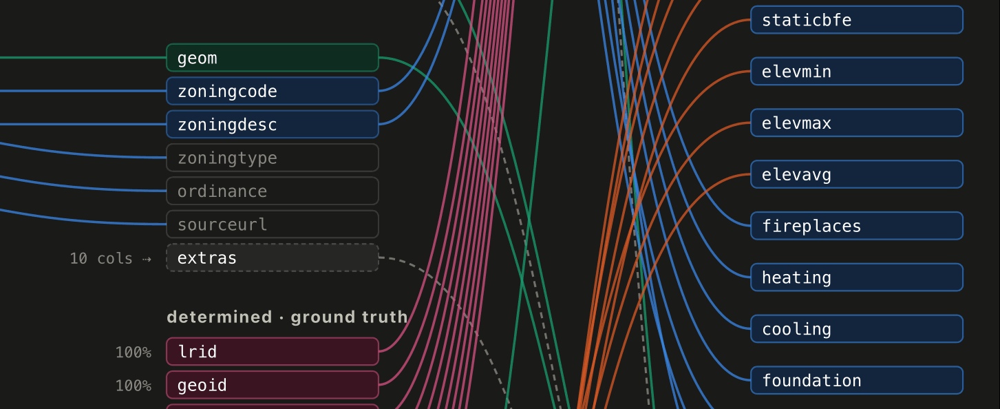
Read more →New on County Coverage Pages: Schema-Mapping Diagrams
County documentation pages now include schema-mapping diagrams showing exactly how each county's source GIS columns are harmonized into the published parcel schema — including supplemented USGS and FEMA fields, deterministic columns, and per-county fill rates.
Read more →Location, Location, Location: How LandRecords Helps Lower the Cost of Living
The oldest rule in real estate is location, location, location — and location is, at its core, a data problem. Behind every home that gets built and every property that changes hands sits a stack of decisions: where to…
Read more →The Web API Now Serves Weekly Dataset Updates
Starting this month, the data behind our hosted web services is refreshed every week . If you use the Landrecords API — the tile services, WMS/WFS parcel lookups, or the coverage map — the parcels you query now reflect…
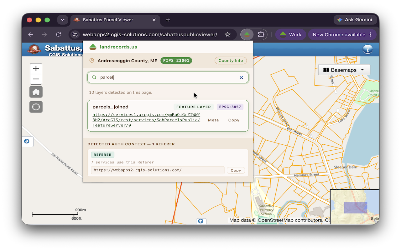
Read more →Introducing the Landrecords.us Layer Assistant for Chrome
A surprising amount of public land data is hiding in plain sight. Open a county’s GIS portal, a state parcel viewer, or a municipal zoning map, and the page is quietly loading authoritative geospatial layers — tax…
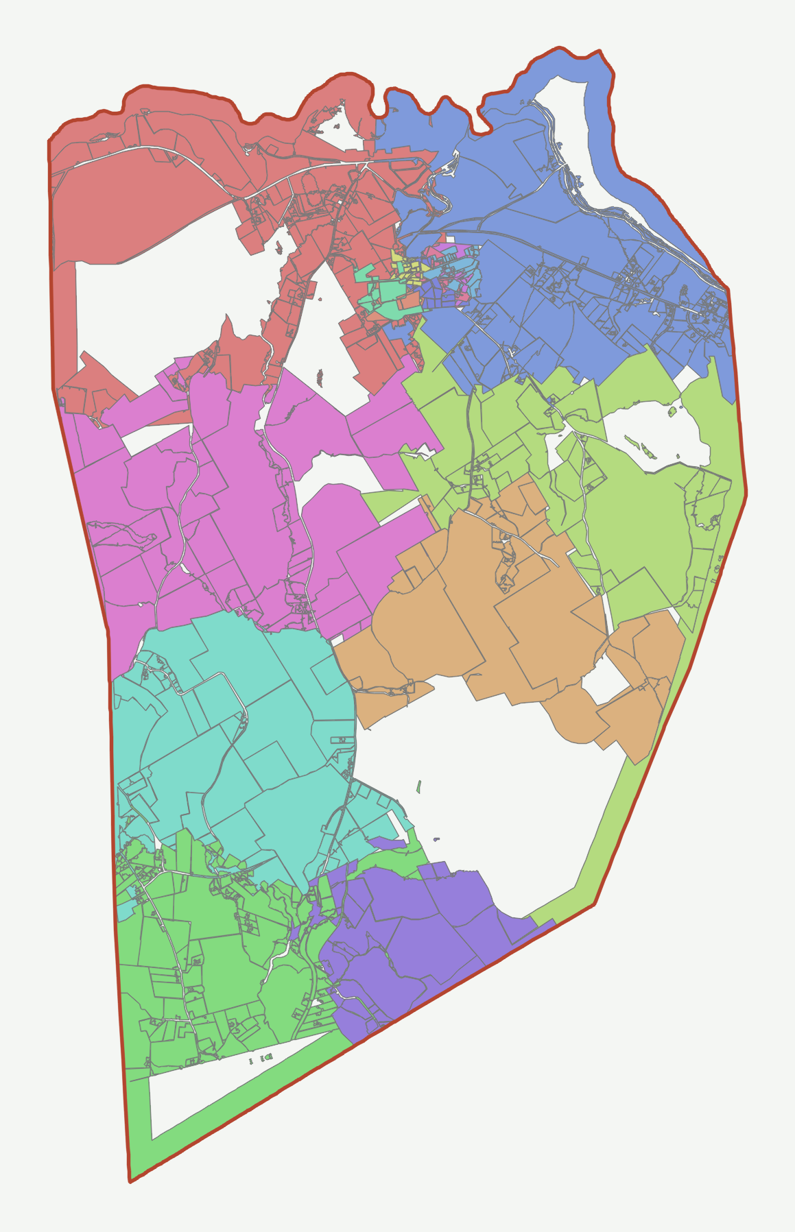
Read more →From PDF to Parcels: Digitizing the Plat Maps of Cornish, Maine
Most of the parcels in our nationwide dataset begin life as a GIS export — a shapefile or a feature service a county hands us, already drawn as machine-readable geometry. Cornish, Maine was not one of those counties.…
Read more →Parcel Dataset Release Q2 2026
The Q2 2026 release of the Land Records Nationwide Parcel Dataset is here. This release appears as 2026.2 in the lrversion field, and it is the biggest schema expansion we’ve shipped in a single release: 40 new…
Read more →Important Update: Parcel Dataset Bulk Downloads Transitioning away from Shapefiles
We are writing to announce an important update regarding how we distribute our bulk parcel dataset. Effective in the 2026.2 release coming up in April, we will no longer be offering the Shapefile format for bulk…
Read more →